Sorry no comments to display
* indicates required field
(this will not be published on the website)
(must start with http:// or www.)
maximum characters 2500, 2500 remaining
ROCKS OF THE
NORTH
JUST AN OLD WALL!
Think about heritage and old buildings come to mind, nicely built, good looking and often with stories to tell.
But in Sunderland there is another major aspect of heritage – its geological setting. Without its coal, and subsequent coal mining, there would have been no ship building, no port and no base for its current industrial and technical diversity. Without the coal, what would the city be like now?
This heritage is reflected in rough stone walls built in the 18th and 19th centuries, walls that are unique to Sunderland and its surroundings. A pity then that the significance of these walls is largely ignored (by the Council and developers alike), to such an extent that their demolition is expected – after all they are just old walls that get in the way!
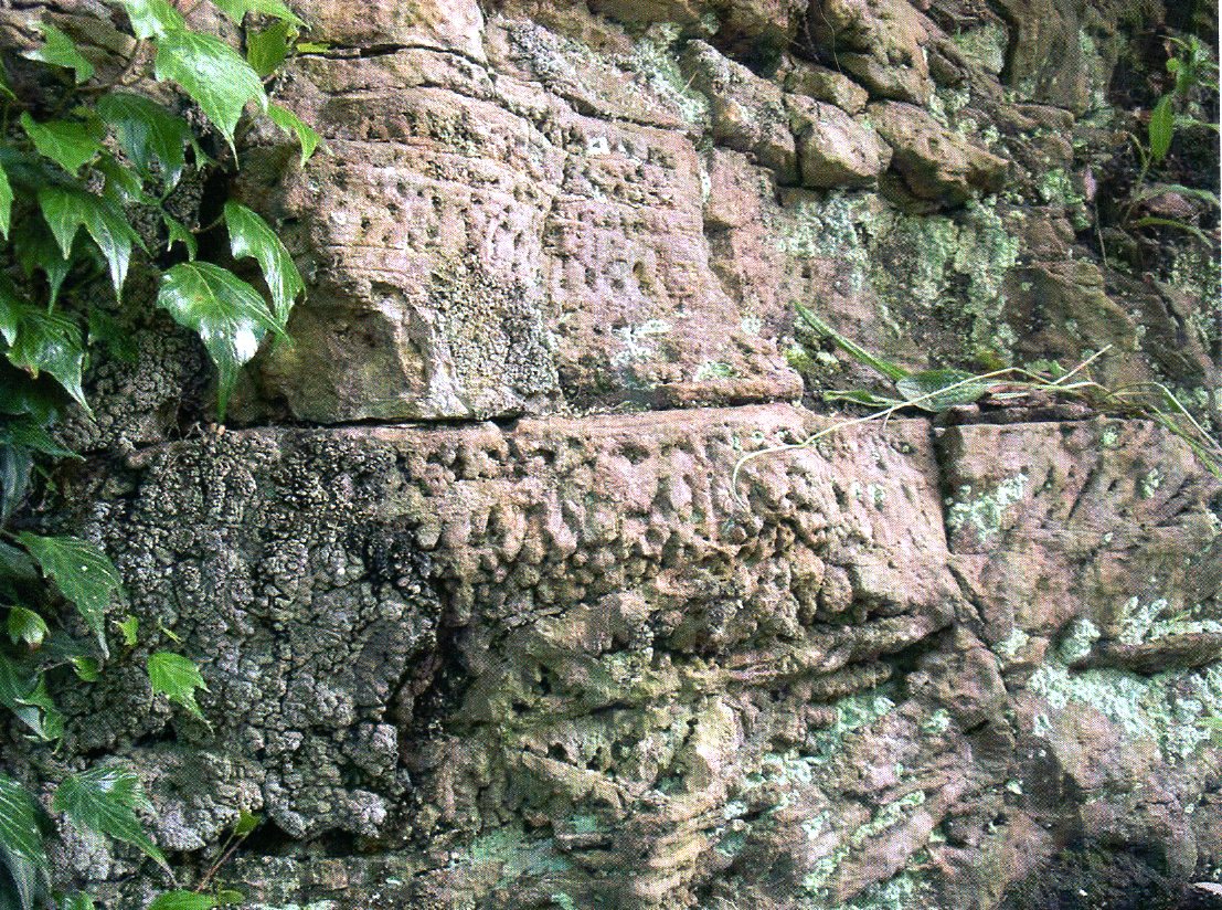
What’s so special about these walls? It’s the types of stone that goes into their building. The main components are local Coal Measures Sandstone, local Magnesian Limestone of Permian age, glacial erratic from the end of the Ice Age, and ships’ ballast brought to Sunderland by the coal trade. Let’s deal with each of these types in turn:-
To Sum Up:- These old walls provide a magnificent show case of Sunderland’s geology, containing blocks of what must be one of the World’s rarest rock types. As well as this they give an unusual snapshot of the area’s historic coal trade, covering overseas destinations as well as ports in the UK. Surely this makes them a priceless part of our heritage? Apparently not!
The Threats – to the best of my knowledge only one of these walls in the city has any protection, and that is the listed mid 18th C wall on the east side of Green Terrace. If anybody knows of any other walls given some protection, I would be delighted to hear from him/her. But should this be the case then the majority of surviving walls are at risk to development. There are two types of threat to the walls, a) demolition and b) “stabilization”.
Demolition – all too easy, and a case of out of sight, out of mind – but not to everybody, be warned! If a wall had to be removed, i.e. there was absolutely no way it could be incorporated in the planned development, then surely the stone could be stockpiled – preserved for future use. How about a new feature wall in Mowbray Park, next to Building Hill which was once a source of the Concretionary Limestone? Preservation as a feature at
its original site though should not be too much of a challenge to today’s planners! Demolition though is ongoing: last year a wall at the west end of the Vaux site was demolished – it wasn’t in the way, a path still runs alongside its site - but it had to go to suit somebody’s tidy mind. More walling was demolished when the Cottam’s brushworks was bulldozed, at Sheepfolds. This site still hosts some of the most interesting walling in Sunderland, along the edge overlooking the Wear. How long will this survive, I wonder?
Stabilization and Preservation – These walls are old, and many do need some care and attention. The old mortar can loosen and blocks fall out (Fig 4), or the banks they support might cause them to bulge. It’s encouraging that in some case it has been recognised that the walls are worth preserving in situ, but the manner of this work sometimes brings me close to despair. Here are two examples:
a) St Peter’s Church, Monkwearmouth. Some exciting developments are taking place at perhaps Sunderland’s most historic site. One job involved stabilizing the old retaining wall at the east end of the church yard, a wall that contained a fascinating collection of ships’ ballast. (The old church site was one of the major dumping grounds for ballast at one time). Sadly though the repair involved removal of a large swathe of original stone work, replacing it with fresh stone brought in from outside. It just doesn’t belong, and the “repair” stands out like a sore thumb (Fig 5).
b) Green Terrace. A year or two back, part of the northern end of the listed wall was giving way and needed repair. Although, not such a glaring example as St Peter’s, once again “new” stone was brought in and these stones were emplaced using more than liberal amounts of mortar, masking much of the structure. Over use of mortar seems a standard repair procedure these days (e.g. Fig 6, from Burdon Road). I wonder why – the original builders used far less, and the walls have lasted pretty well!
Conclusions. With Sunderland hosting the Tall Ships Race in 2018, there is a need to preserve structures associated with the city’s past maritime heritage. These walls tick that box, and added to that display a geological heritage and uniqueness that many a city would cherish. The fact that these walls disappear I put down to a lack of awareness by both the Council and planners as to their real significance. They really are more than just some “old walls”! I’m hoping that by writing this, and spreading the word, Sunderland’s public might make them take note. Readers who don’t reside by the River Wear, might recognise a similar situation and potential threat, wherever you live.
If you have a minute to spare, then please get back to me with your comments and thoughts.